 |
| Carr Fire - not my photo |
Back in May, we visited the area around Redding California. That area is now in the national news because of the terrible forest fires that are burning more of California than ever. This has prompted me to go back and take a look at some of the photos we took of that area before the fires.
By now you have seen photos like the one on the right. Take a look at some of my photos from before the fire to appreciate the beauty of the area.
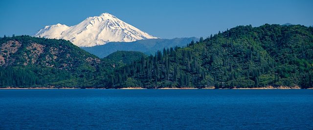 |
| Mount Shasta and Shasta Lake |
When we were there it was the end of spring. There was still plenty of new growth on the trees and shrubs but the grasses were just starting to turn golden. The temperatures were getting up there and things were starting to dry out. A day after we visited the Redding area we were in Sonoma County where we saw the aftermath of fires that ravaged the hills the year before. Little did we know it was a preview of things to come.
We took an interesting tour of Shasta Dam. It was built in 1938 - 1945 and created Shasta Lake which is the largest reservoir in the state.
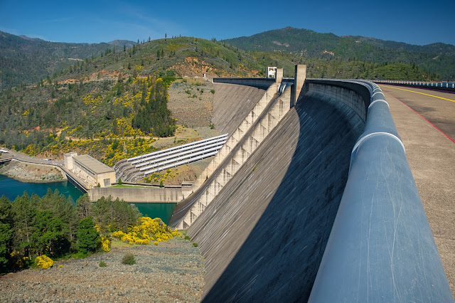 |
| Shasta Dam |
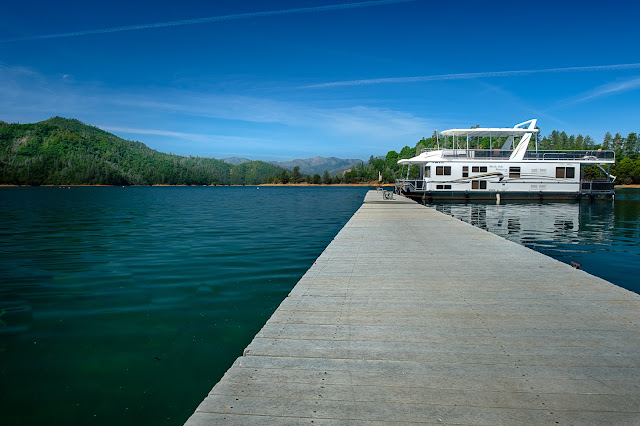 |
| Bridge Bay, Shasta Lake |
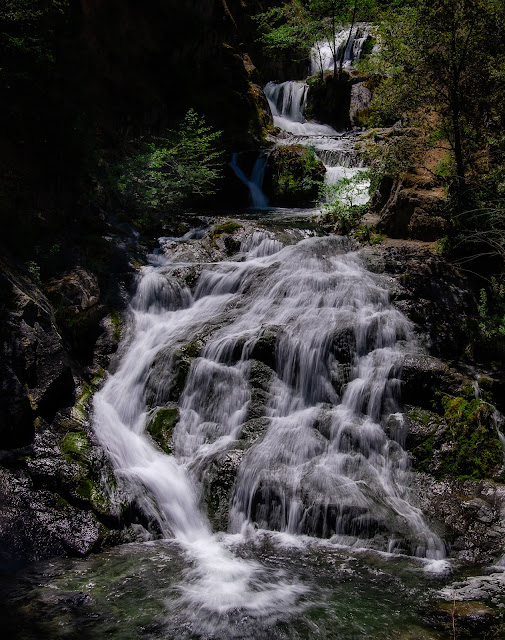
You can see from these photos that we were there on a clear sky day, which is the worst conditions to take landscape photos in general and especially waterfalls. The waterfalls were beautiful to look at and enjoy, but next to impossible to photograph to create a pleasing photo. I struggled with high contrast, intense whites, and dark shadows. Normally I wouldn't even try to photograph the waterfalls under these conditions but this was the only time we will be there so I made the best of it.
We spent several hours at the Whiskeytown National Recreation Area surrounding the crystal clear Whiskeytown Lake. The area is now closed until further notice because the Carr fire is actively burning throughout the Recreation Area. The fire continues to grow and as of two days ago was 160,000 acres, with 1,604 buildings destroyed, including 1,080 homes. Tragically, seven people have lost their lives in this fire.
 |
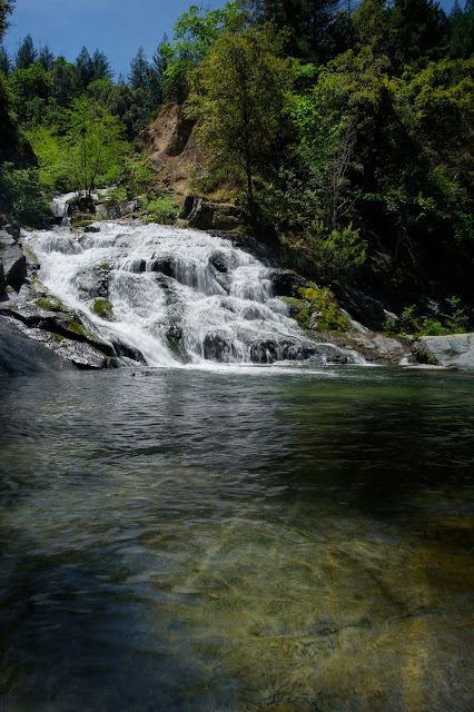
| Lower Crystal Creek Falls |
When we were there the biggest issue was the heat and bright sun, neither of which slowed us down.
 |
| Lower Crystal Creek Falls |
When dealing with intense high contrast light the best photograph can often be found in the details where the light is more manageable. I found this shot off to the side in the shade. It's probably my favorite of the day.
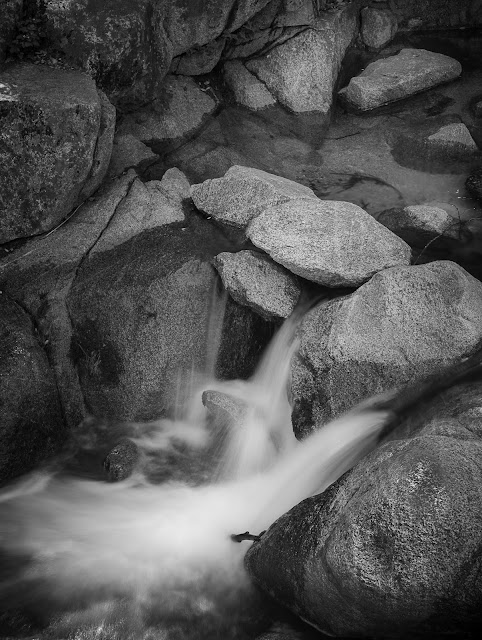 |
| Isolated Cascade |
It's ironic that the trail we hiked on to Whiskeytown Falls is named after James K. Carr, Undersecretary of the Interior in 1963. The fire that is ravaging this area is also named Carr, but was named after his father Francis Carr who was a prominent figure in the creation of the federal Central Valley Project to manage water in the area.
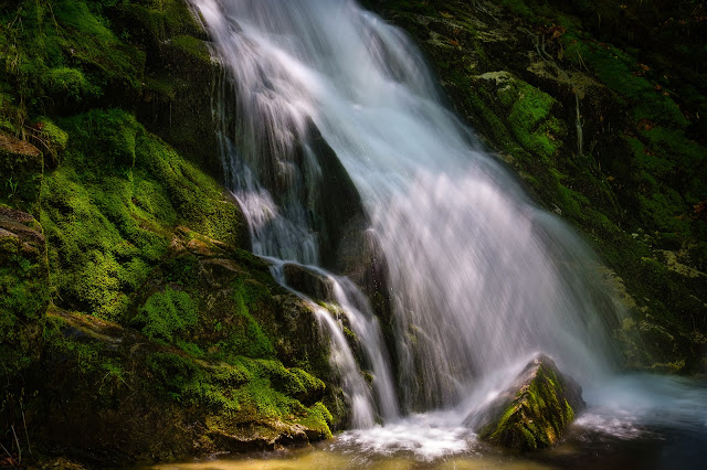 |
| Top of Whiskeytown Falls |
For over 40 years the Whiskeytown 220-foot waterfall was a secret to the few that knew it existed. For a variety of reasons, some people decided not to share the falls' existence with others. After two years of work, the NPS opened the Carr trail to the falls so the rest of us can enjoy it.
This area will be devastated but nature will eventually return it to a natural condition. It won't ever be the same, but new life will spring up. God continues to renew the Earth.


No comments:
Post a Comment